Some Statistics From 15 Years of Photography

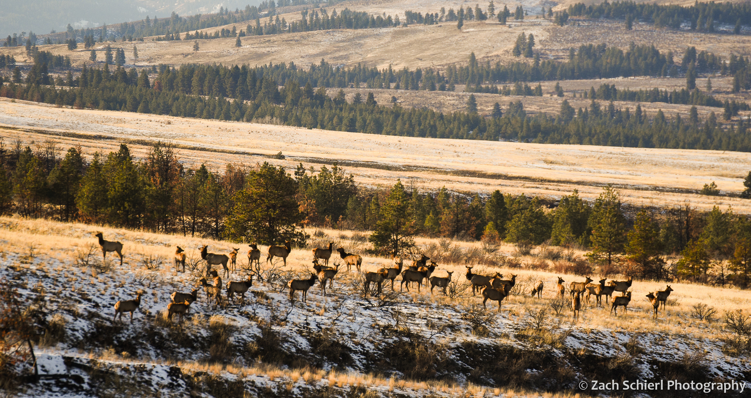
A herd of elk in Washington’s Wenas Valley.
Back at the beginning of the pandemic, I embarked on a project to finally organize and categorize my extensive photo collection. I have nearly 100,000 photos in Lightroom, but as I generally try to spend as little time as possible in front of the computer screen, I had never bothered to organize them in any meaningful way. The initial decision to fix this was a function of both time (I was stuck at home…) and practicality. I use my images extensively in my job as a community college astronomy and geology instructor, and finding that one specific photo of a rock or lunar eclipse has always been sort of a nightmare if I didn’t happen to remember exactly when it was taken.
The project started off quickly (when I was stuck at home…) but as we re-emerged into the world a few months later, progress soon slowed, and I am just now finishing the project almost two years after I began. While tedious at times, it has also been a joy to rediscover many long forgotten photos. I hope to post many of these in the coming months. As a statistics nerd, it’s also been interesting to examine some of the data on where and when I’ve taken the most photos. For example, here is a graph showing the number of images I’ve taken each year, going back to 2007 (almost 15 years ago!) when I purchased my first digital camera:
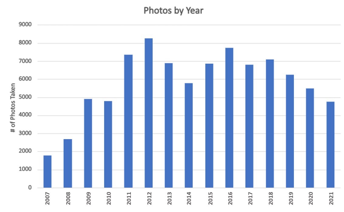
It looks like it may have taken me a few years to fully internalize that, with digital, I could take as many photos as I wanted and not have to worry about the cost of film! As you can see, I’ve taken fewer photos this year than I have since 2008, a fact which I was acutely aware of even before making this graph. The drop-off from 2018-2020 is a little harder to explain, as we traveled quite extensively in those years (albeit closer to home in 2020 due to the pandemic). I’d like to think it’s because I’ve gotten better at capturing a good shot on the first attempt, but who knows…
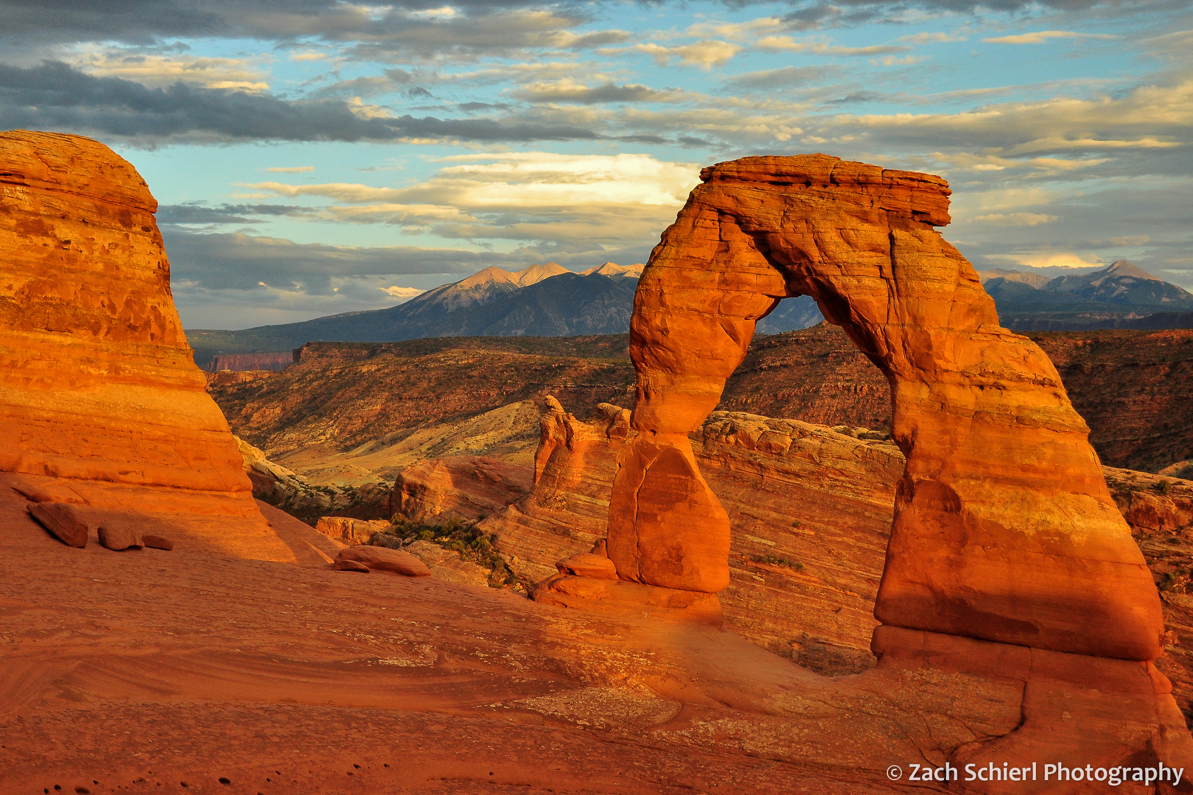
A sunset view of Delicate Arch from 2012. While a somewhat cliché shot, it is also one that’s getting harder and harder to capture as crowds at popular viewpoints get larger and larger.
My project also involved sorting photos by location. As of Dec 2021, here are the top five states in which I’ve taken the most photos:
| State | Photos Taken |
| Washington | 21,154 |
| Utah | 17,188 |
| Colorado | 13,642 |
| Arizona | 8,959 |
| California | 3,779 |
No surprises here: I’ve lived in Washington for most of my adult life, with brief stints in Utah and Colorado. Arizona is where I grew up (and frequently return), while my now-wife lived in California during the early years of our relationship.
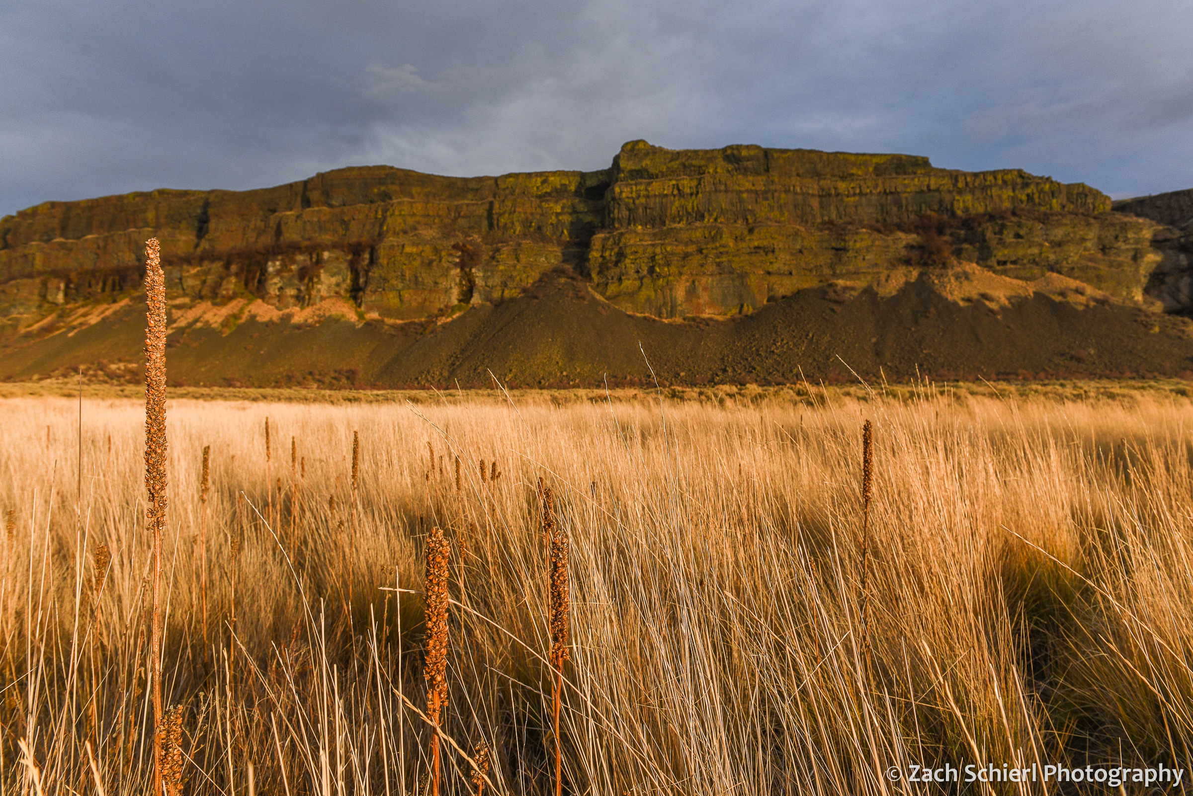
Basalt cliffs in Grand Coulee, Washington
Breaking things down a bit more, the specific locations where I’ve taken the most photos are also all found in one of the five states from above:
| Location | Photos Taken |
| Dixie National Forest, UT | 2779 |
| Cedar Breaks National Monument, UT | 2757 |
| Black Canyon of the Gunnison National Park, CO | 2703 |
| Wenatchee National Forest, WA | 2122 |
| Zion National Park, UT | 2014 |
| Rocky Mountain National Park, CO | 1768 |
| San Juan Mountains, CO | 1695 |
The Dixie National Forest covers a pretty wide swath of southern Utah, so its presence in the top spot is perhaps a little misleading. Cedar Breaks and Black Canyon, while relatively small parks, are places that I worked for several summers or years. I was a little surprised to see Zion National Park so high on this list. While we lived close to Zion during our time in Utah, it was generally a place we tried to avoid most of the year, given the crowds and heat. Apparently we ended up there more than I remembered!
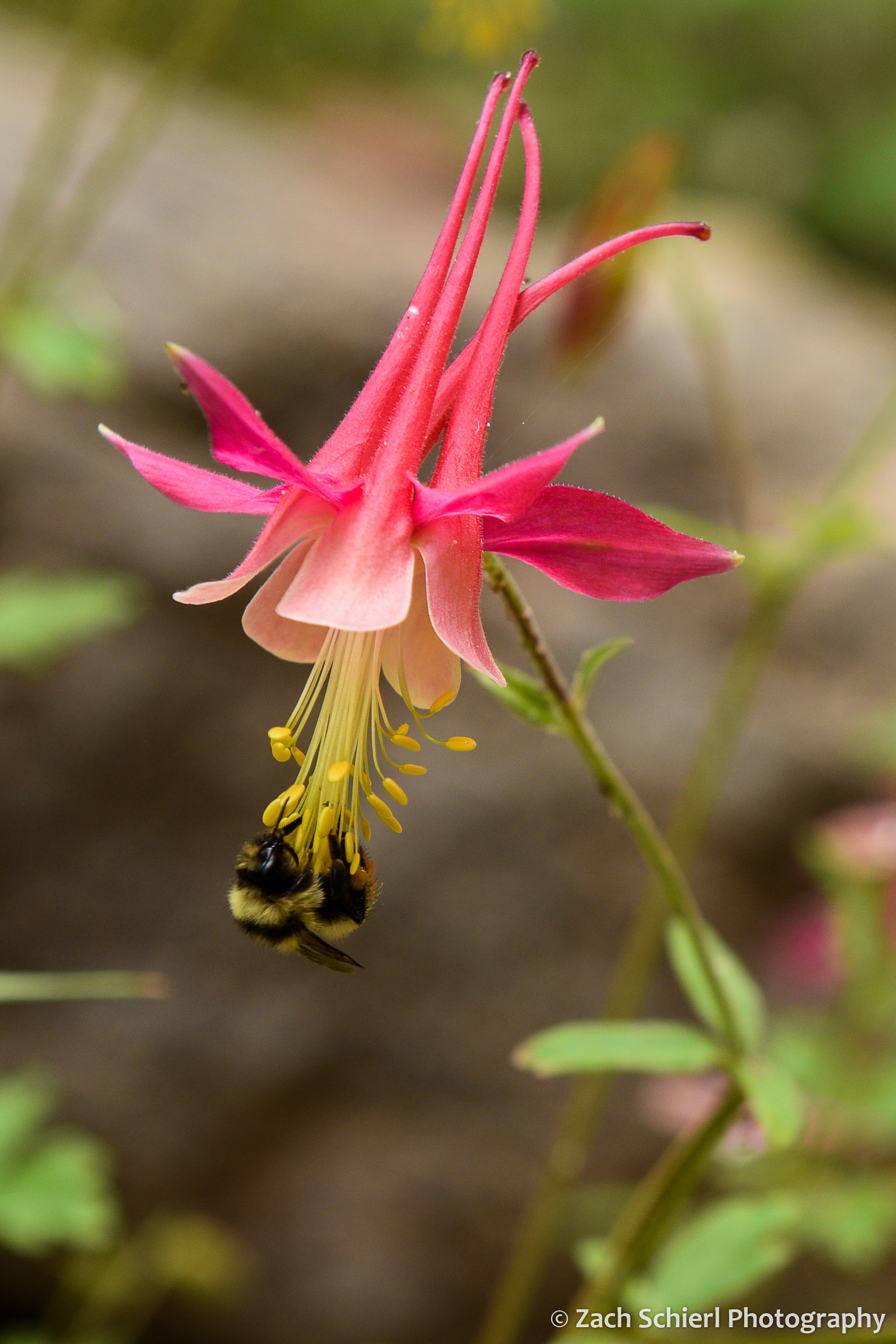
A rare pink specimen of red columbine (Aquilegia formosa) in the Dixie National Forest, Utah.
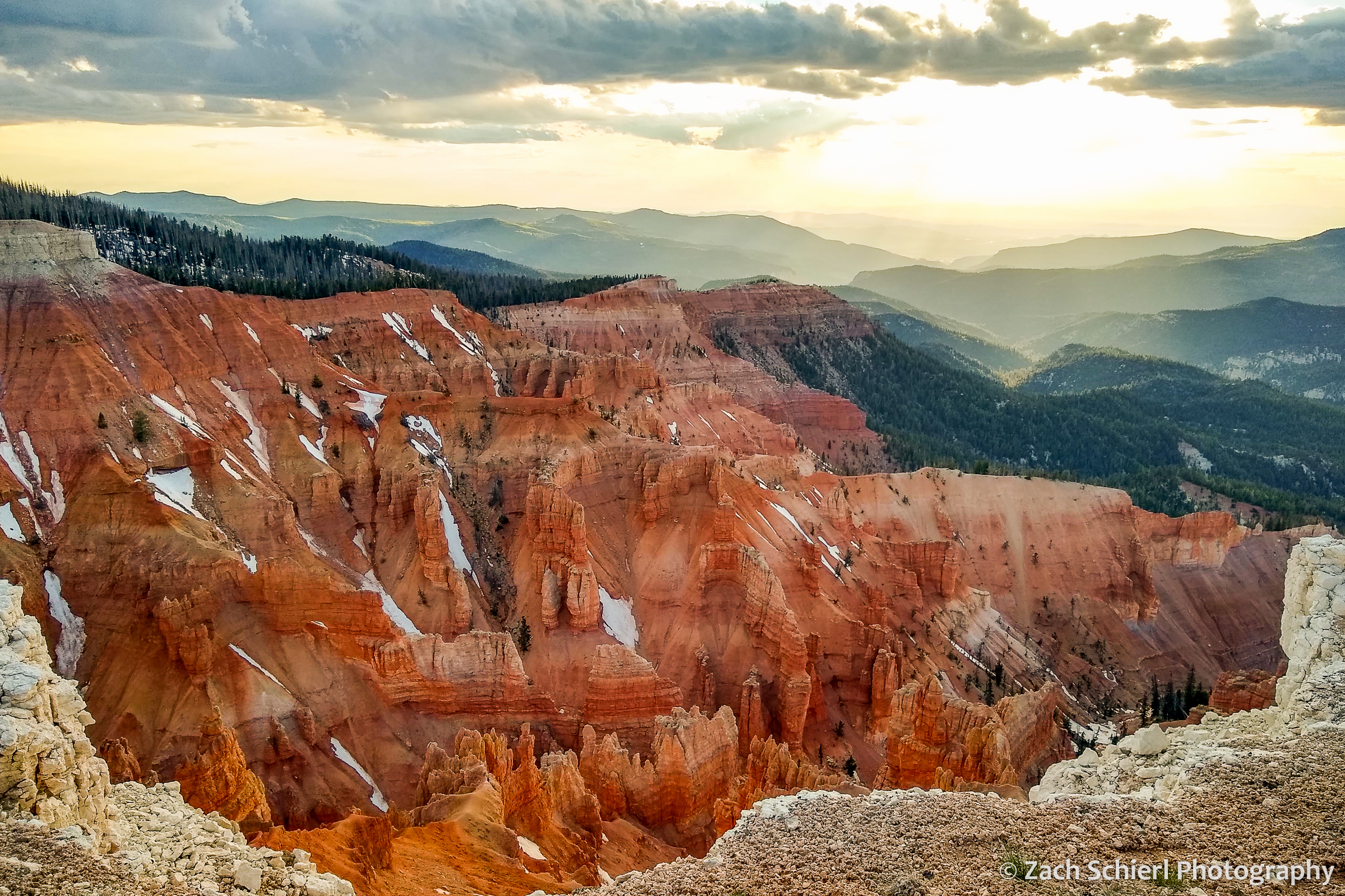
Sunset from Point Supreme in Cedar Breaks National Monument, UT. (I’m not 100% sure, but I think this may be the first cell phone photo I’ve ever posted on this site…)
In nearly 15 years of photography, I have taken 300+ individual images in one day just three times. Below is a list of my most “productive” (measured by sheer volume that is) days of photography:
| Date | Photos Taken | Occasion/Location |
| 6/11/2012 | 342 | First visit to Great Sand Dunes NP in Colorado |
| 8/7/2009 | 327 | Backpacking trip to Havasu Canyon, Arizona |
| 5/16/2015 | 316 | Black Elk Peak and Custer State Park, South Dakota |
| 4/20/2019 | 282 | Backpacking trip to Willow Gulch, Utah |
| 7/9/2012 | 279 | Yankee Boy Basin, San Juan Mtns, Colorado |
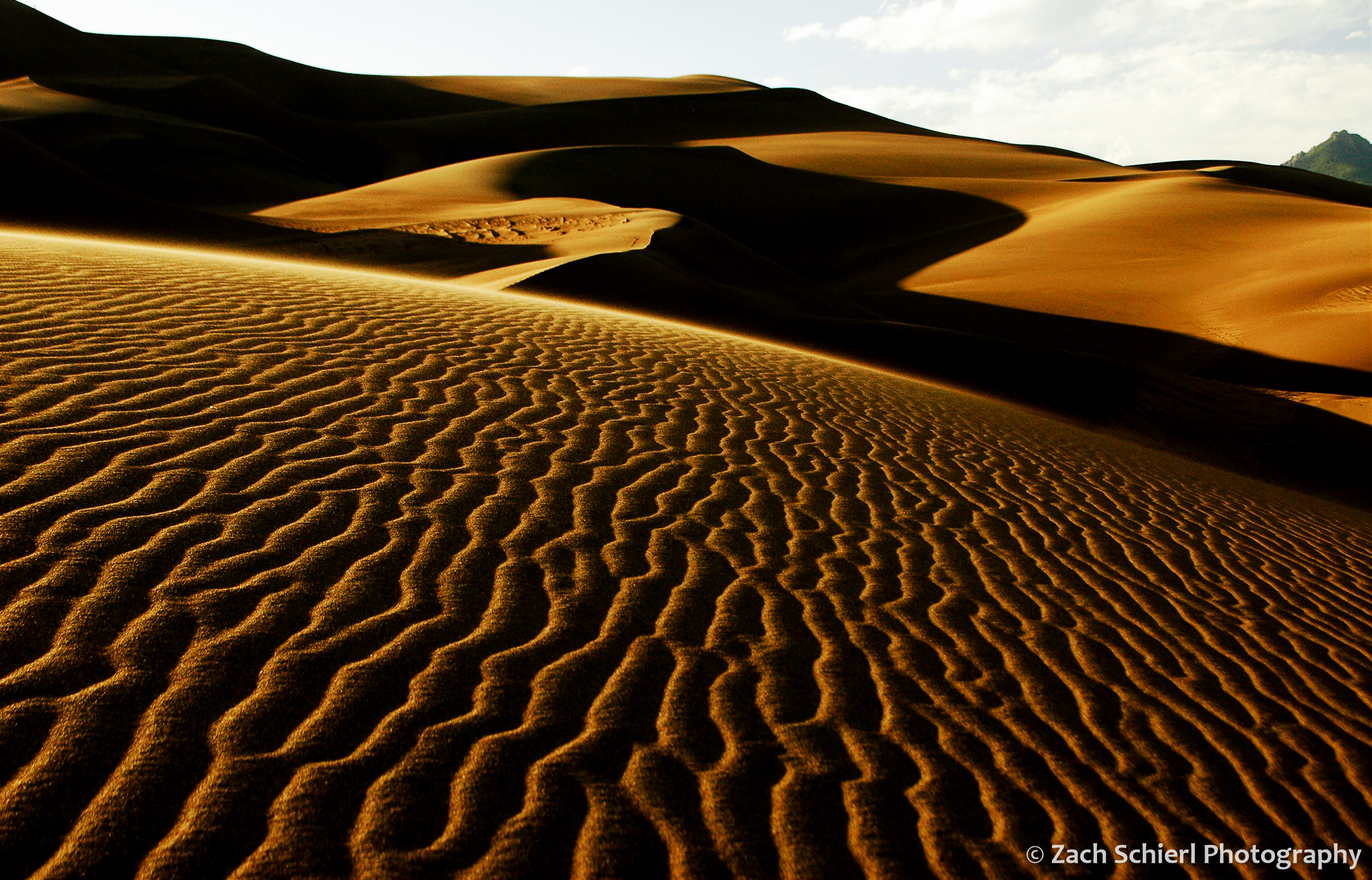
Sunset in the dunes at Great Sand Dunes National Park in Colorado. This was definitely a memorable day; the patterns of light and shadows I witnessed that evening are vivid even 10 years later.
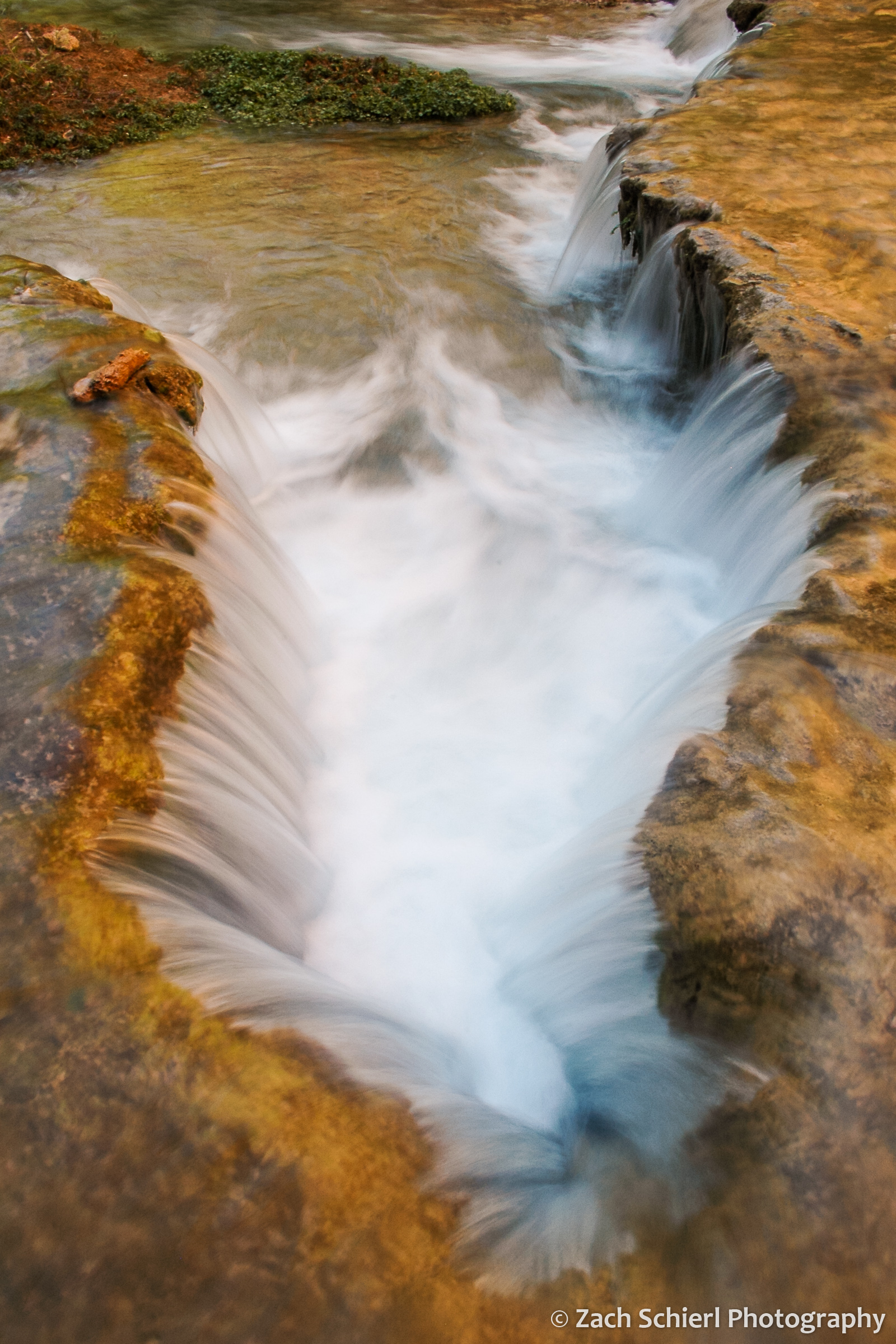
A small cascade along Havasu Creek, Arizona.
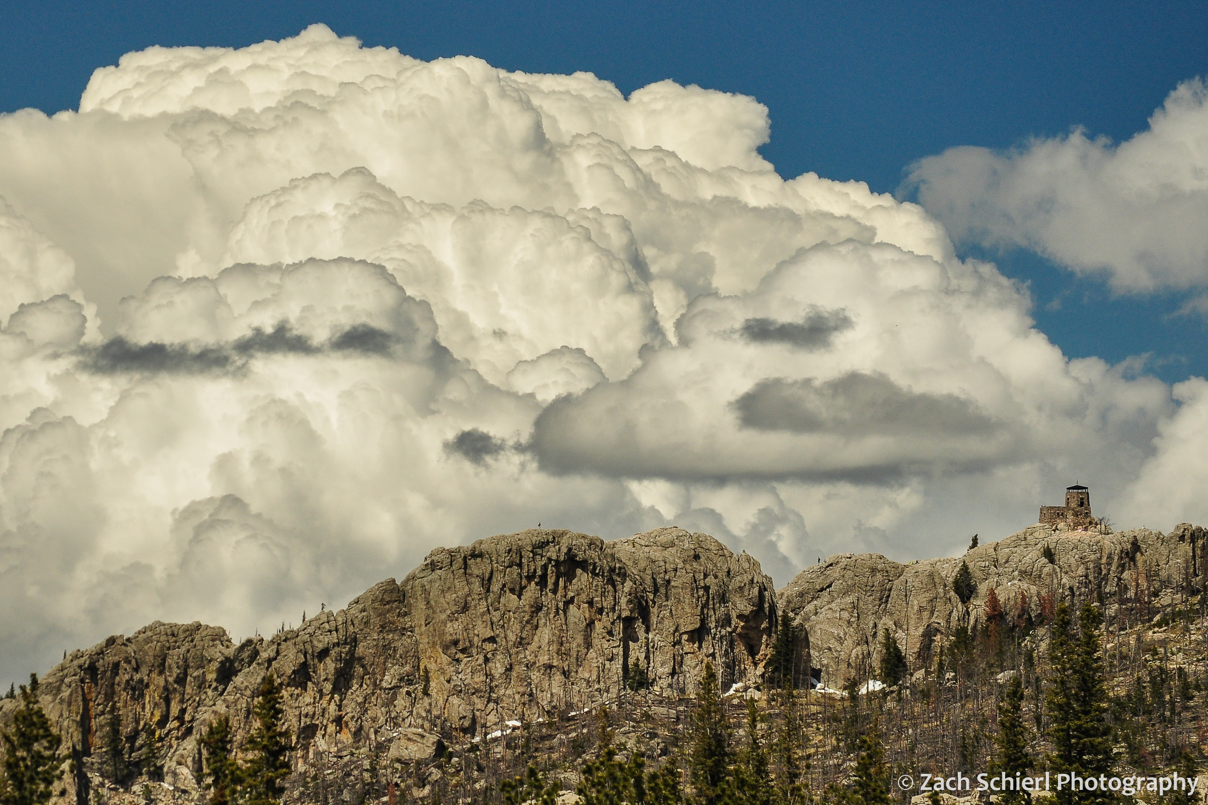
Cumulonimbus clouds tower over Black Elk Peak, the highest point in South Dakota.
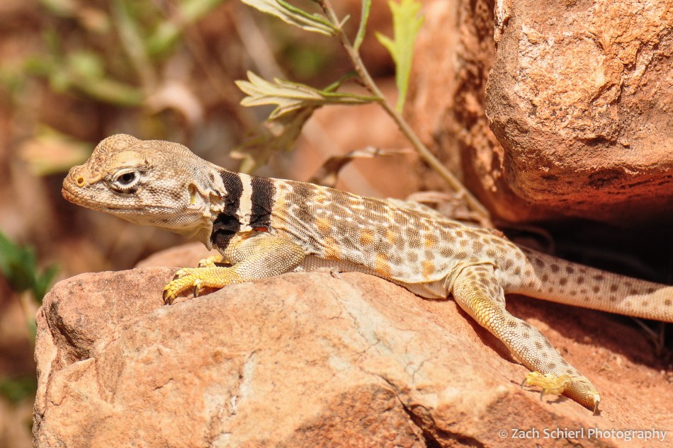
As far as animate objects, I have taken more photos of bighorn sheep (Ovis canadensis) than any other animal (followed by elk, yellow bellied marmots, mule deer, mountain goats, and, in an aquatic twist, ochre sea stars.) The sheep were a fixture of our drives to and from Estes Park and Rocky Mountain National Park while living on the Front Range of Colorado.

Rocky Mountain Bighorn Sheep, Big Thompson Canyon, Colorado
I could bore you with a detailed breakdown of the geologic features that I’ve photographed, but perhaps that is best saved for another day…
From Washington to Zion

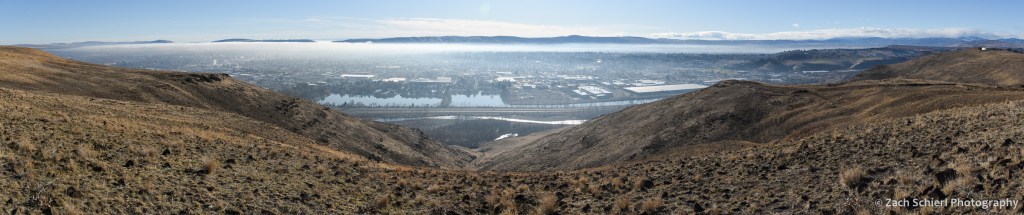
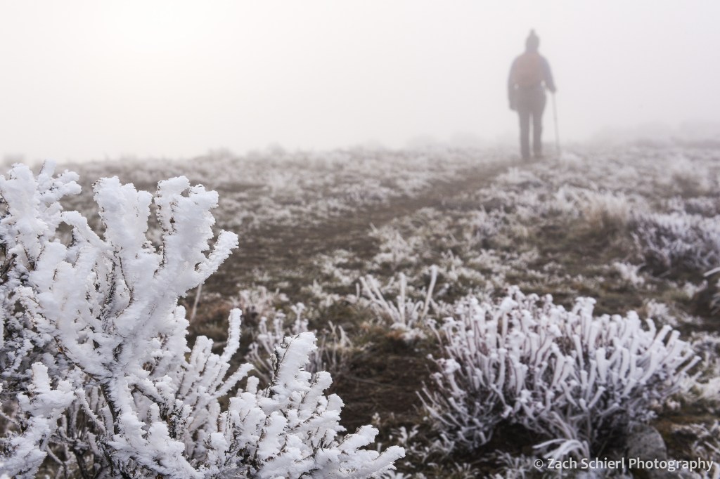
Between work, weather, and the ongoing pandemic, my camera has seen relatively little use the last few months. Here in central Washington, it is inversion season. Atmospheric inversions occur when relatively warm air passing over the Cascade Range traps colder air below in the valleys of the Columbia River Basin. These pools of cold air can persist for weeks, bringing cold temperatures, freezing fog, and poor air quality. Fun, fun, fun! Here’s what things have looked like in recent days:
Stuck inside, I’ve been working on a project to organize and categorize over a decade’s worth of photos. It’s been fun to come across long forgotten gems and months and months of photos that I never even got around to editing in the first place. I plan to post some of the highlights as I come across them.
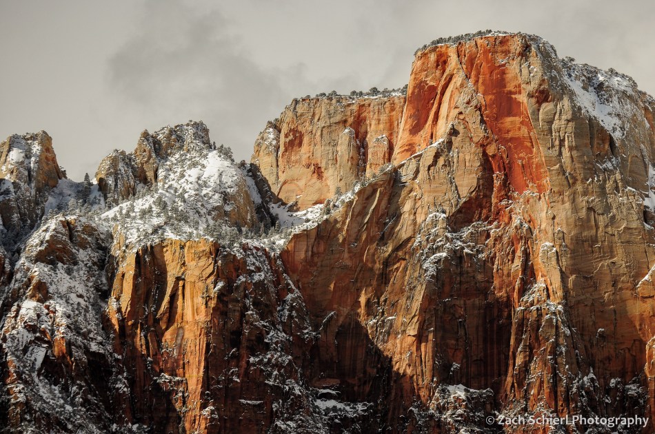
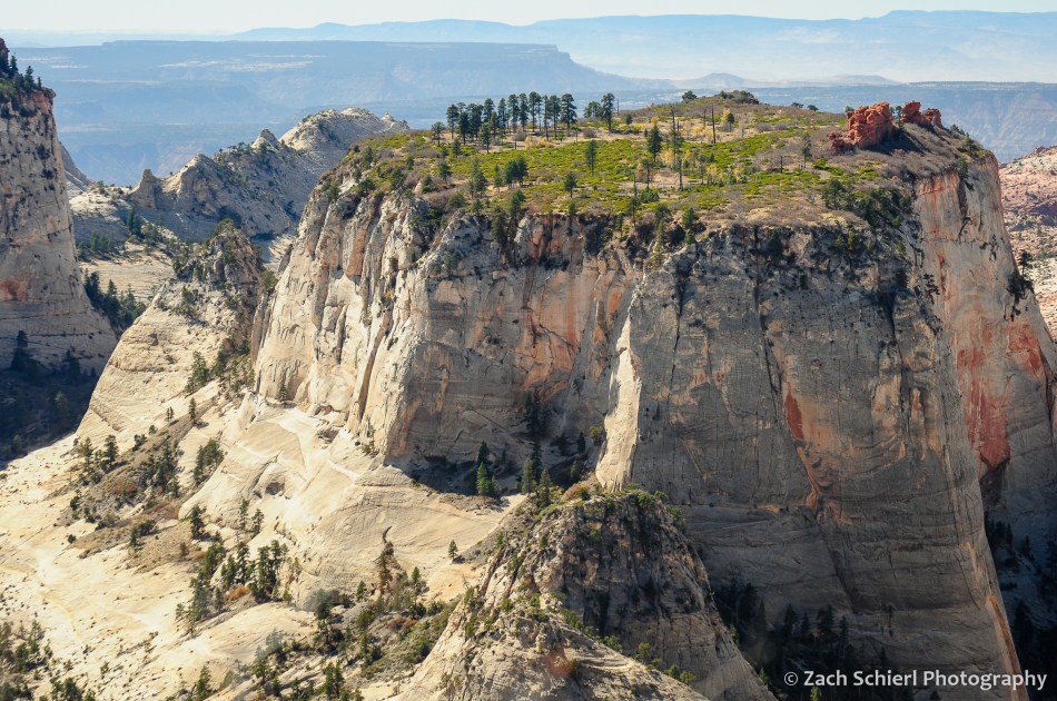
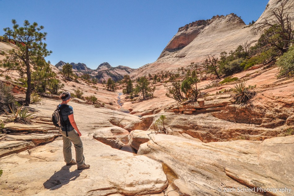
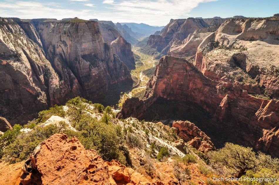
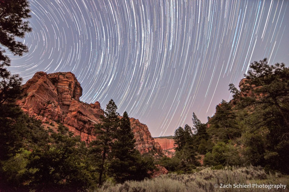
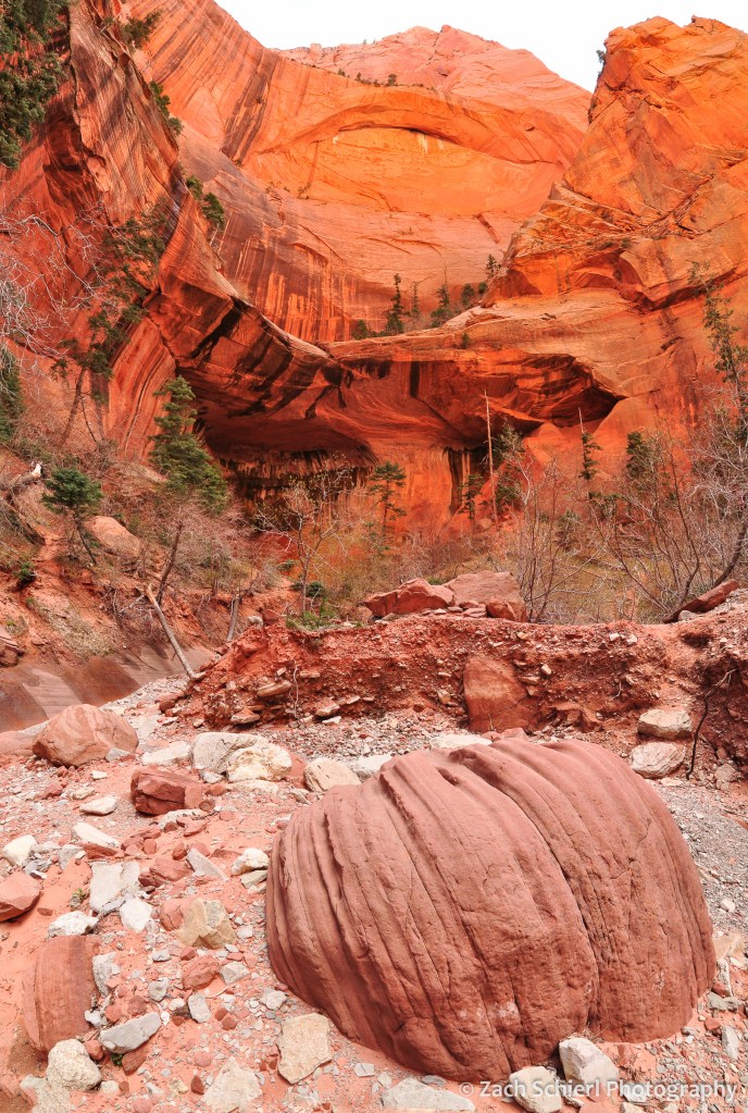
While I post only a tiny fraction of the photos that I take here, looking back through the archives, I’ve noticed one especially glaring omission over the past few years: Zion National Park. Zion is one of my favorite landscapes on Earth, and for a little over three years we lived just 20 minutes from the north end of the park. I was surprised to discover that I haven’t shared any images from Zion since I started this website and blog almost a decade ago. In order to rectify that, here’s a look back at some of my favorite photos from Zion National Park:


2019 Joshua Tree Bloom and Responsible Nature Photography


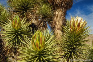
Joshua trees in bloom during March 2019 in the Virgin River Gorge, Arizona.
Joshua trees (Yucca brevifolia) are some of the most iconic figures of the southwestern deserts. While most often associated with California and Joshua Tree National Park, a tiny portion of their range extends into our corner of southwestern Utah. Not actually a tree but rather a tall gangling species of yucca, Joshua trees are frequent companions on low-elevation hikes in the St. George area, where the Mojave Desert makes its last stand before disappearing into the higher altitude mountains and valleys of the Colorado Plateau and the Great Basin.
Like many species of yucca, Joshua trees don’t flower every year, but instead only when temperature and rainfall conditions are favorable. We had yet to see a flowering Joshua tree in our three years in Utah, only the dry brown stalks of blooms gone by. This winter has been abnormally wet however, and in early March we started to notice large flower buds forming on a handful of Joshua trees (in the median of Interstate 15) that we drive past regularly. By the end of March, the bloom was in full swing! We decided to head into the Virgin River Gorge of extreme northwestern Arizona for a closer look.

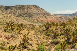
The stark Mojave Desert landscape in the Virgin River Gorge, Arizona.
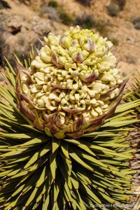
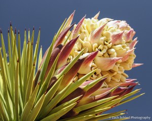
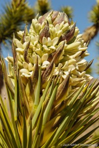
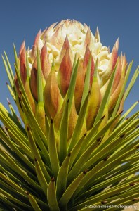
Joshua trees produce truly massive flower stalks: 1-2″ feet long and densely packed with large, rubbery, cream to nearly yellow-colored petals. Perhaps even more impressive are the flower buds, which resemble gigantic green and purple artichokes in the days and weeks before the flowers emerge:

This year’s Joshua tree bloom wasn’t limited to Utah and Arizona. Throughout the Mojave Desert, Joshua trees have been flowering in large numbers, thanks to a series of wet and cold winter storms over the past few months. In fact, some Joshua trees in California were observed blooming as far back as last November. This fact may seem innocuous, but actually gives ecologists cause for concern given that Joshua trees are pollinated by just one insect: the yucca moth. Yucca moths are the sole species with the proper behavior and anatomy to pollinate the Joshua tree. Consequently, Joshua trees are 100% dependent on the yucca moth for reproduction and survival, while the larvae of the yucca moth are similarly dependent on the Joshua tree seeds for nutrition. For these symbiotic species to survive, the timing of the Joshua tree bloom must coincide with the life cycle of the moth. As climate change warms the southwestern deserts, there is concern that this could cease to be the case, as described in the linked article above. Joshua trees are a keystone species of the Mojave Desert, providing food and shelter for a host of other animals large and small. A decline in their populations would be devastating for the desert as a whole.
All of this is reason to work toward protecting our remaining stands of Joshua Trees, and a reminder to always be mindful and respectful when photographing sensitive species and landscapes. The “superblooms” of poppies and other wildflowers in the southwest over the past few months have highlighted the ecological damage that occurs when swarms of folks looking for their next Instagram photo descend en masse on delicate landscapes without regard for the environment.
Fortunately, many photographers are aware of the threat photography can pose to these beautiful environments and are working to combat the problem. I’m pleased to share that I have joined Nature First: The Alliance for Responsible Nature Photography. The goal of Nature First is to promote responsible nature photography through adherence to seven core principles:
-
Prioritize the well-being of nature over photography.
-
Educate yourself about the places you photograph.
-
Reflect on the possible impact of your actions.
-
Use discretion if sharing locations.
-
Know and follow rules and regulations.
-
Always follow Leave No Trace principles and strive to leave places better than you found them.
-
Actively promote and educate others about these principles
If you are a nature or landscape photographer, check them out and consider joining. Following these principles will ensure that spectacular events like Joshua tree blooms are still around for future generations of humans and yucca moths to enjoy!