Happy New Year!
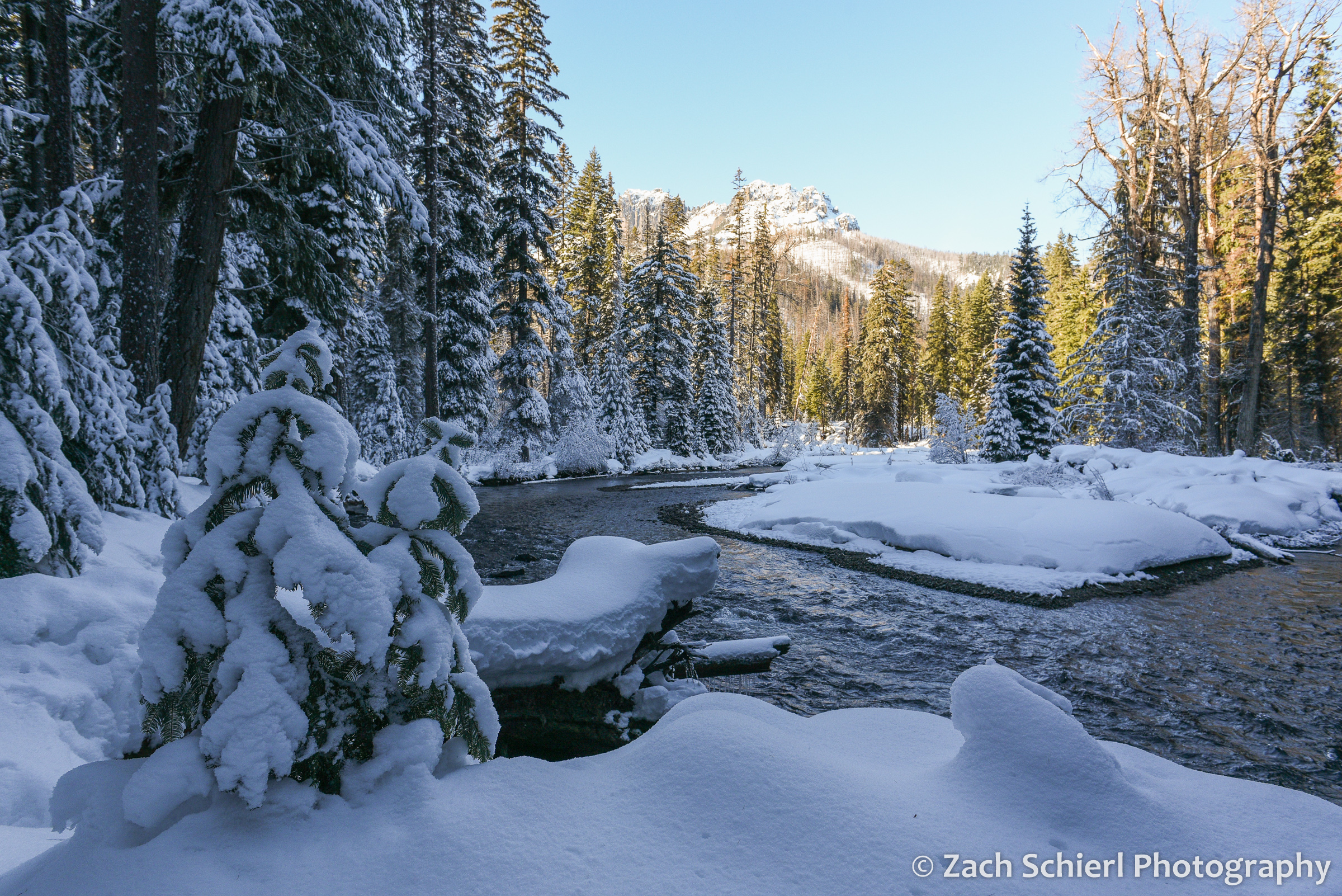
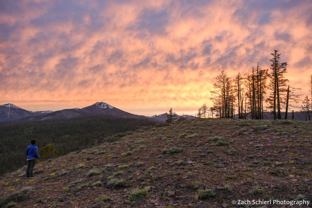
Happy New Year from the winter wonderland of Washington! It’s been a somewhat dreary winter for us so far, with lots of inversions, freezing fog, and single digit temps. Fortunately, the gray pall lifted for a brief period on New Year’s Day, allowing us to enjoy a day of snowshoeing along the American River in the Cascades just west of Yakima. While it was a gorgeous bluebird day, our trail of choice followed the northern base of a tall ridge, keeping us mostly in the shade. The frequent glimpses of sunny forest across the valley were tantalizing, but the riverside scenery and relatively warm temperatures made for a pleasant outing nevertheless.
Here’s hoping to more such days (and more photography) in the months ahead, and best wishes for a joyful 2023!

Looking back at Spring

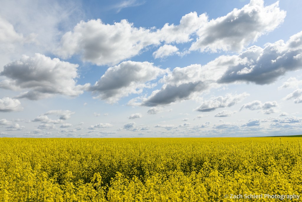
Spring is my favorite season here in central Washington. Our winters, while short and relatively mild in terms of snowfall and temperatures, can be quite dreary. Temperature inversions, freezing fog, and bad air quality are a staple of our weather forecasts from November to February. Summers can be brutally hot: the third digit on my home weather station spends quite a bit of time illuminated from June through August. While conditions in the Cascades are more tolerable, here in the arid sagebrush-steppe of the Yakima Valley, shade trees are found only along rivers and in watered urban backyards.
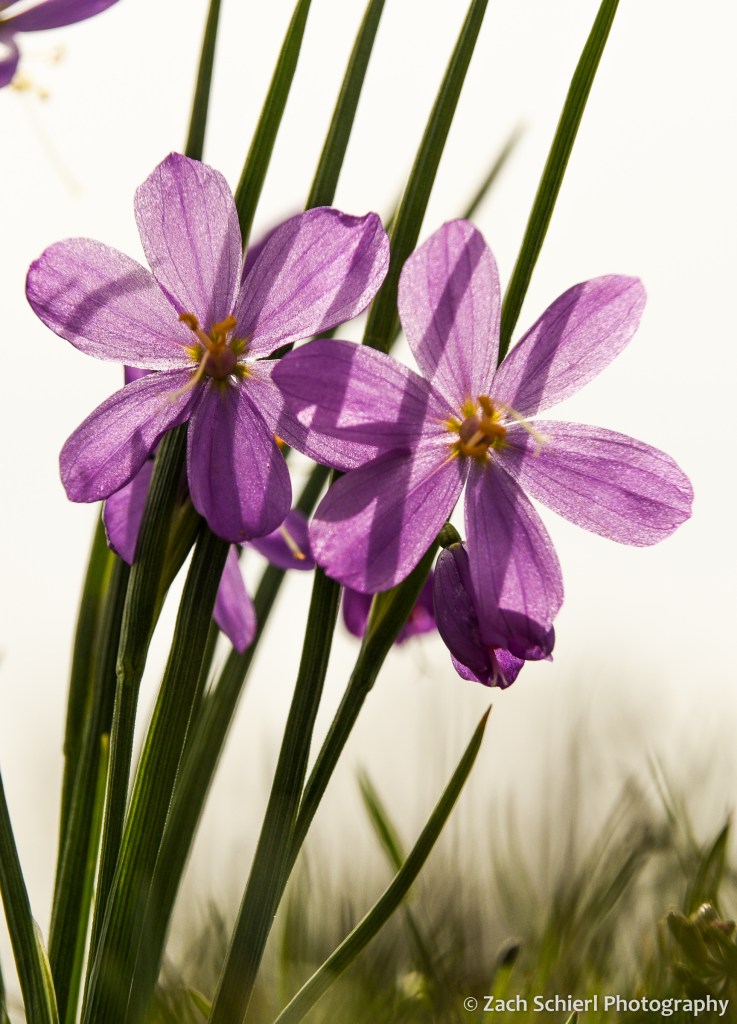
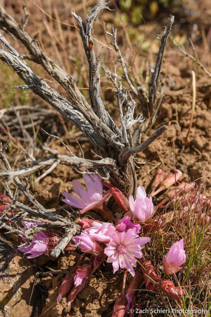
Spring holds the perfect balance: the days get progressively longer, conditions are perfect for outdoor exploring, and, as an added bonus, foothills of the Cascades come alive with wildflowers (one of my favorite photographic subjects the past few years.) Fall has its merits as well, but the with the onset of winter occupying the back of ones mind, the urge to get outside before the snow starts falling can feel almost stressful compared to the relaxed bliss of spring.
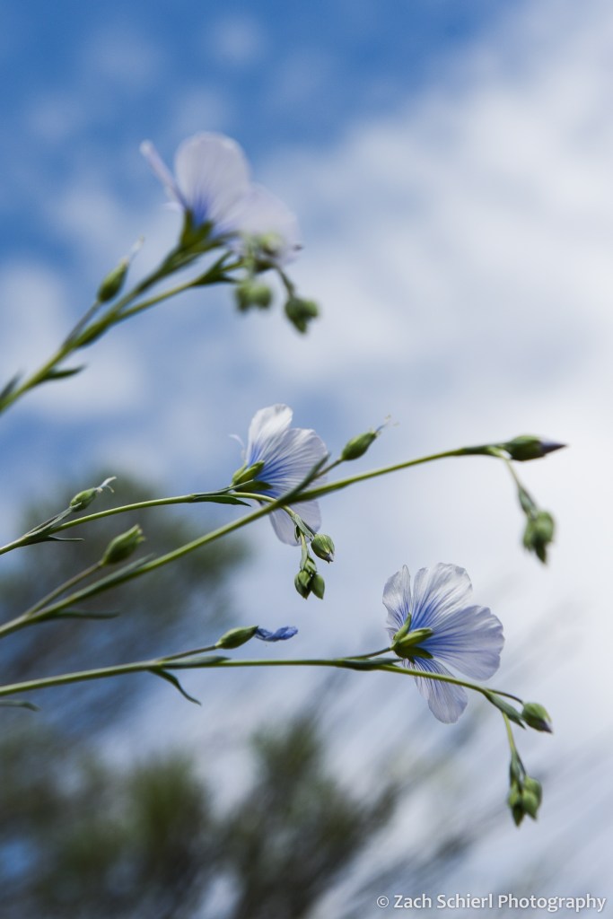
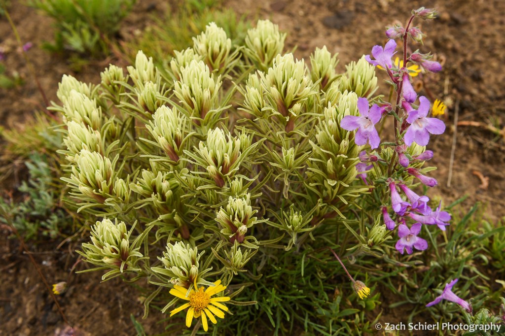
Here are some of my favorite photos from this past spring, from March’s vernal equinox up through June’s summer solstice:


Aurora Borealis from Washington

One of the great things about living in Washington is the occasional opportunity to see the aurora borealis (northern lights). While we rarely get the all-sky displays that are common in Alaska, Canada, or Scandinavia, there are typically at least a few nights per year where they are bright enough to see dancing on the northern horizon with the naked eye. This has been especially true this past year, as the Sun inches toward the next solar maximum in 2025. (Aurora are the result of interactions between our atmosphere, magnetic field, and charged particles spit out by the Sun. More solar activity generally means more opportunities to see aurorae.)
This past week, I witnessed a stellar (by Washington standards at least) auroral show. In a stroke of luck, I was already scheduled to lead a public stargazing event on the evening that Earth was hit by a large coronal mass ejection (CME), a burst of charged particles from the Sun that can trigger aurorae upon arrival at Earth. It was quite a treat for everyone, given that “see the northern lights” was not part of our event advertising. Instead, it was a nice bonus for everyone that braved the still-rather-chilly-and-windy spring weather.

This was my fourth time seeing the northern lights: three times from Washington, and once, oddly, from southern Utah. One big takeaway is that the show is a little different each time. This was the first time I had seen or photographed a red aurora. What’s more, the red color was easily visible to the naked eye. Seeing the sky glowing red was quite a strange sight; it felt like something was wrong with my eyes. In the photos, the aurora has an almost pink or magenta color, something that seems to be relatively uncommon. The display was brief: after less than 30 minutes, the lights dissipated.

Comparing these photos to one from my last sighting in October 2021, it’s almost hard to believe they are the same phenomenon. In October, the lights hugged the horizon and the green color was not nearly as apparent to the naked eye. (I find this odd given that the human eye is much more sensitive to green light than red light, especially at night…would expect it to be the other way around.)

These tantalizing glimpses of the aurora borealis the last few months are making me want to plan a winter trip to Alaska in the next few years while the Sun remains active. Fingers crossed we can make it happen!
