Mt. Hood, Oregon
The tallest peak in Oregon at over 11,000 feet, Mt. Hood sits in a chain of active stratovolcanoes stretching from California to British Columbia. Just a few dozen miles south of the Columbia River Gorge and the Washington border, Mt. Hood is one of the more accessible high peaks in the Cascade Range (though the climb to the summit is somewhat technical) given its close proximity to Portland. Like the other volcanoes of the Cascades, Mt. Hood and the surrounding national forest offer many opportunities for photography, especially if you can get away from the summer crowds!
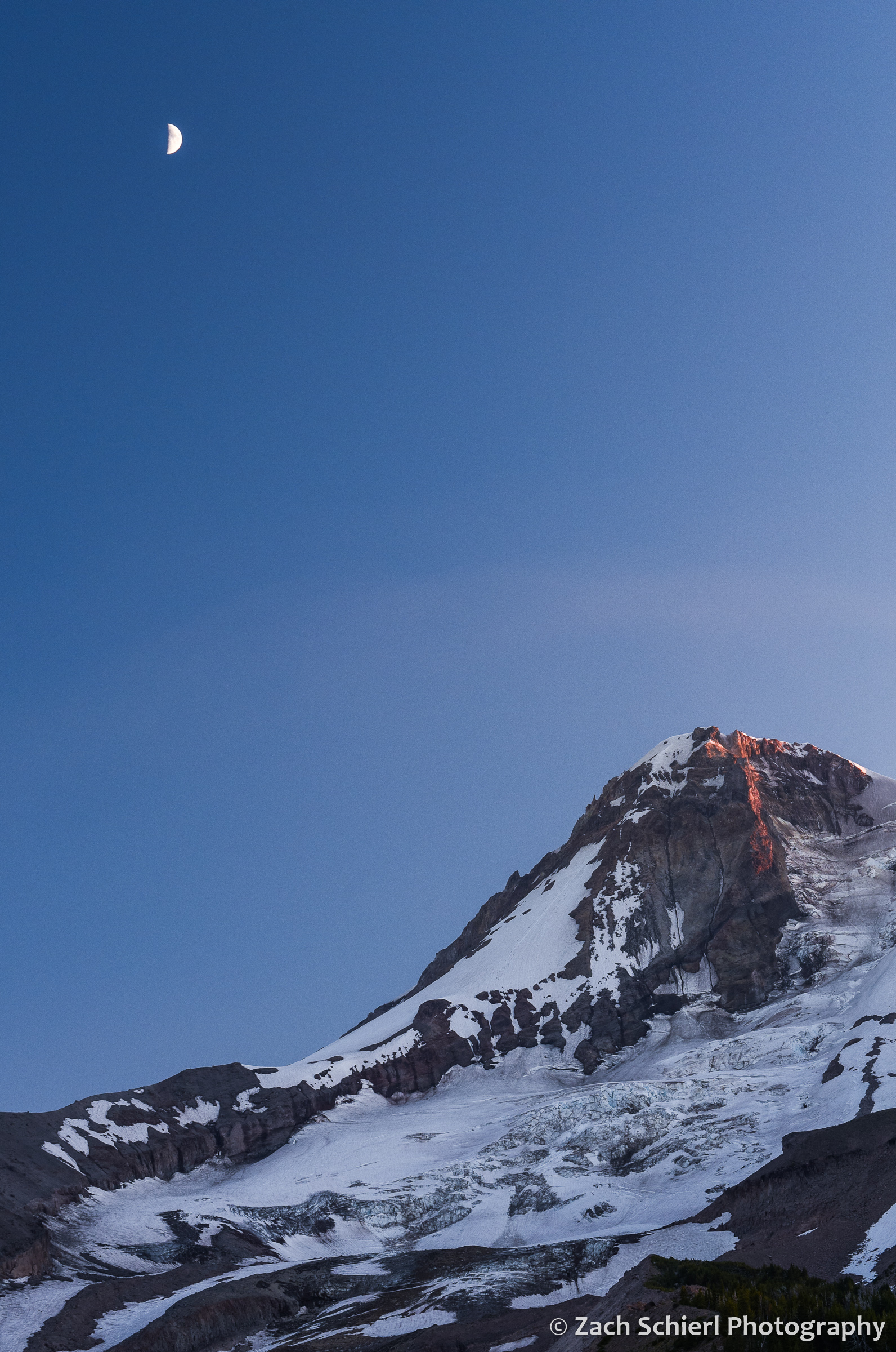
A 1st quarter moon hovers above glacier-clad Mt. Hood at sunset 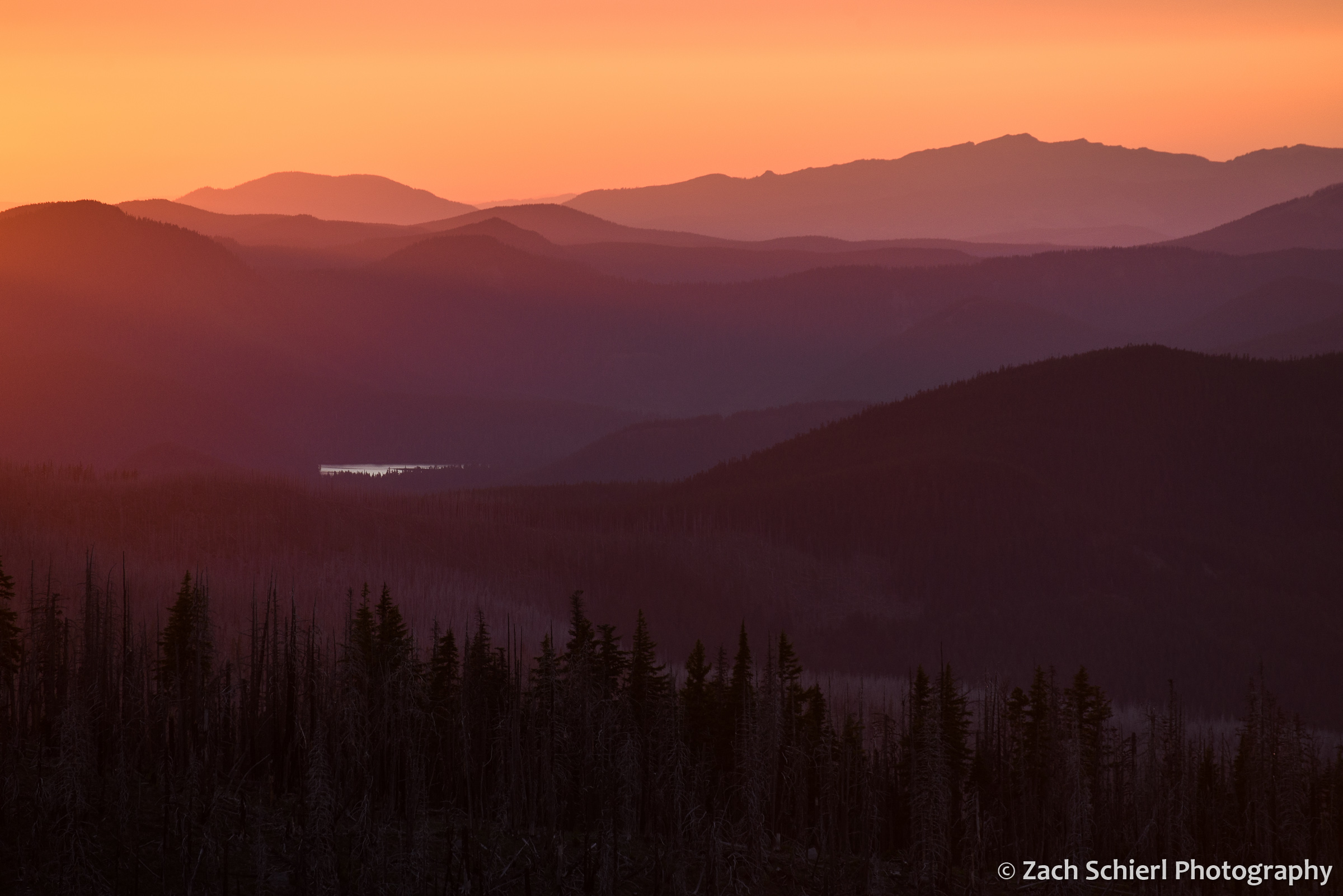
Looking northwest from the flanks of Mt. Hood toward Lost Lake at sunset 
A sunset view of Mt. Hood from near the Cloud Cap Inn, on the northeast flank of Mt. Hood 
The Eliot Glacier on the northeast face of Mt. Hood is the largest glacier by volume on the volcano. 
Sunrise from the lateral moraine of the Eliot Glacier on Mt. Hood in Oregon. 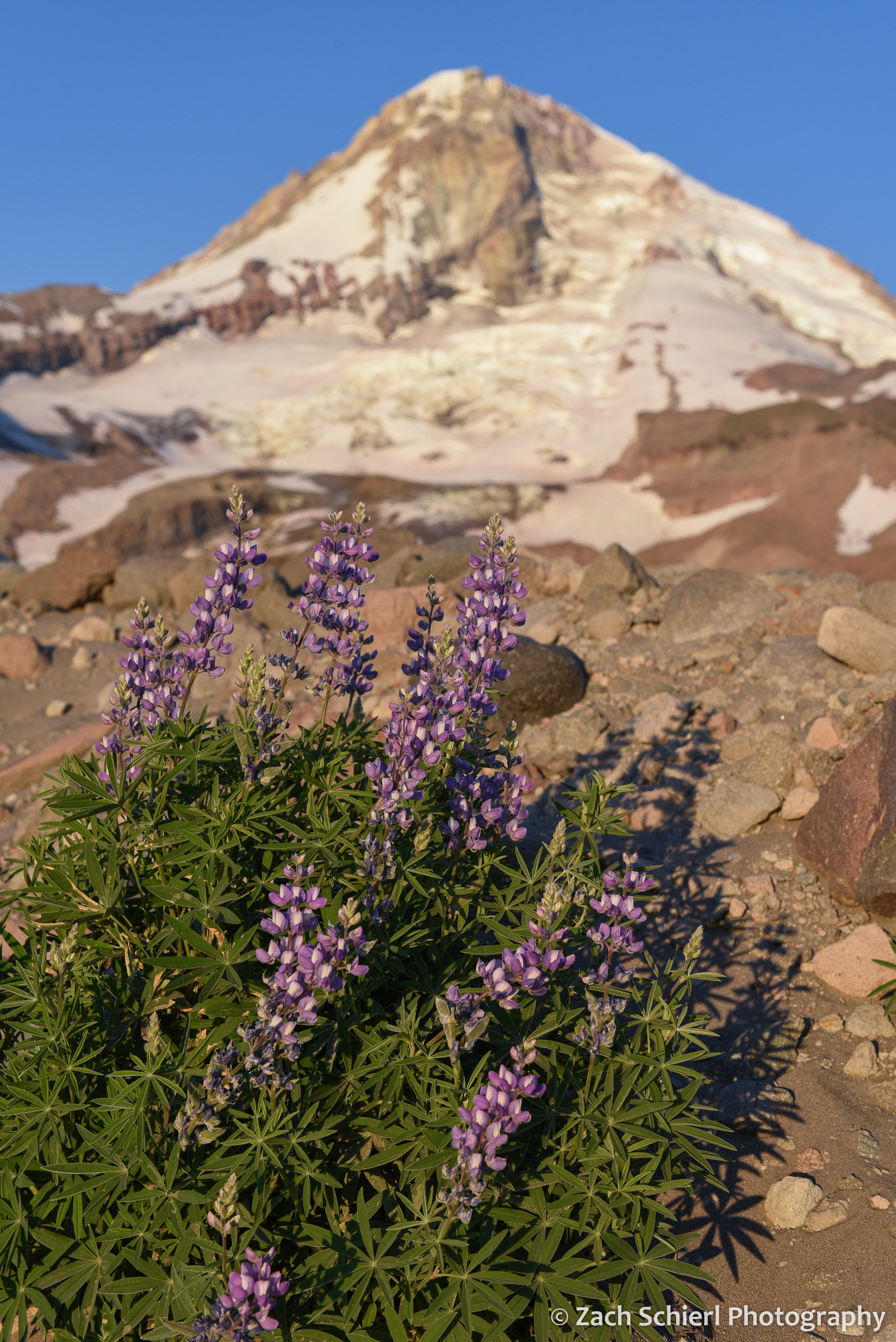
Lupine flowers on the lateral moraine of the Eliot Glacier, Mt. Hood, Oregon
